Travel/POI: Taiwan Yangmingshan National Park Xiaoyoukeng, Lengshuikeng, Qingtiangang 陽明山國家公園 小油坑, 冷水坑, 擎天崗


Xiaoyoukeng 小油坑
On April 9, 2025, I took my daughter to Xiaoyoukeng. Located on the northwestern slope of Mt. Qixing at an elevation of approximately 805 meters above sea level, Xiaoyoukeng is a prominent post-volcanic geological landscape within Yangmingshan National Park. It is famous for its active fumaroles, sulfur crystals, hot springs, and dramatic terrain—all shaped by residual volcanic activity. The area was formed by heat retained underground after volcanic eruptions ceased; this thermal energy heated trapped gases, increasing steam pressure until it eventually escaped through surface faults. Today, Xiaoyoukeng remains highly active, with fumaroles continuously emitting sulfurous steam at high temperatures year-round. We also visited this spot on July 12, 2022, and the following photos are from both outings.
2025 年 4 月 9 日帶女兒來小油坑。小油坑位於七星山西北麓,海拔約 805 公尺,是陽明山國家公園內的一處後火山活動地質景觀區,它以「後火山作用」所形成的噴氣孔、硫磺結晶、溫泉及壯觀的崩塌地形最具特色。其成因乃火山活動終止之後,地底下殘留的熱能加熱殘留的氣體,使地底下累積的蒸氣壓力增大,最後在火山口或斷層附近爆破地面而出,如今,小油坑仍保持著高度的活躍性,噴氣孔終年噴吐著高溫的含硫蒸氣。2022 年 7 月 12 日我們也曾來過此地,以下照片是這兩次出遊的照片。


Lengshuikeng 冷水坑
Lengshuikeng is located on the southeastern slope of Mt. Qixing, about 740 meters above sea level. It was originally a lake, but the water later dried up, exposing the lakebed to form a basin. It earned its name—which translates to "Cold Water Pit"—because its hot spring temperature is only 40°C (104°F), which is much cooler than the springs in surrounding areas. Another theory suggests the name comes from a spring hidden in a nearby stone cave; its water is clear, pure, free of sulfur and iron, and cold to the touch.
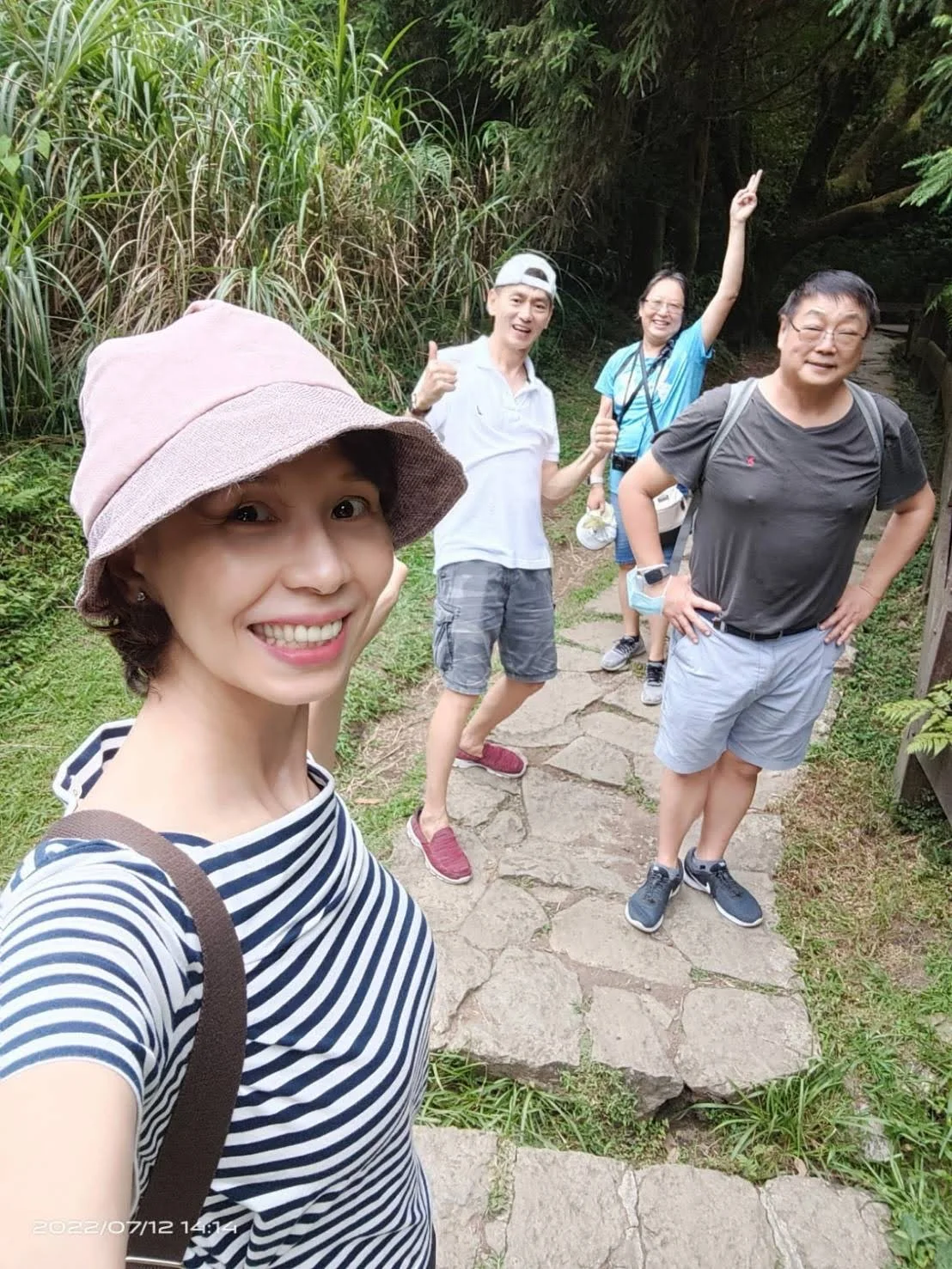
In 2025, we drove directly from Xiaoyoukeng to Qingtiangang. However, back in July 2022, we hiked the Lengqing Trail from Lengshuikeng to Qingtiangang, and this is a record of that journey. The Lengqing Trail is about 1.6 kilometers long. During the summer, the cicadas chirp in a chorus that, while not entirely deafening, is still incredibly loud. As soon as we set foot on the trail, we were greeted by beautiful bald cypresses. Not far along, we hit a fork in the road leading to Milk Lake. From there, we walked through a lush broad-leaved forest filled with fascinating insects and plants, which made the hike truly unforgettable.
冷水坑位於七星山的東南山麓,海拔約 740 公尺。此處原為一座湖泊,後因湖水乾涸,湖床裸露,因而形成了一處窪地。也因溫泉溫度只有40℃,遠低於其他地區泉溫度而得名。另有一種說法認為,此名源自於附近一處石洞內隱匿的泉水;該泉水質清澈純淨,不含硫磺與鐵質,且觸感冰涼。故名冷水坑。
2025 年,我們從小油坑直接開車到擎天崗。而在 2022 年 7 月,我們則由小油坑到冷水坑走冷擎步道至擎天崗。這是那段旅程的紀錄。冷擎步道全長約 1.6 公里。在夏天,蟬鳴聲雖然不是完全震耳欲聾,但仍然非常響亮。一踏上小路,迎接我們的是美麗的落羽松。走了沒多遠,就有一個叉路去牛奶湖。從那裡,我們穿過一片鬱鬱蔥蔥的闊葉林,裡面充滿了迷人的昆蟲和植物,讓這次的健行增加不少趣味。




Qingtiangang 擎天崗
Qingtiangang is located at the heart of the Datun volcanic peaks. Formerly known as Daling or Niupu, it has served as a significant cattle grazing area since the late Qing Dynasty and throughout the Japanese colonial period. During the colonial era, Qingtiangang and its surrounding areas were designated as part of the "Daling Pass Ranch," where a cattle-fostering system was implemented. At its peak, the ranch supported around 1,600 head of cattle. Grazing primarily occurred from April to October, after which owners brought their cattle back to lower elevations to care for them during the colder months.
With the advent of agricultural mechanization, the grazing industry gradually declined, leading to a sharp decrease in cattle numbers. Some water buffaloes that were left unclaimed eventually became feral, forming the wild herds seen today. Because these buffaloes have developed strong defensive instincts, visitors are advised to maintain a safe distance and exercise caution. Originally, carpet grass was planted to support grazing, but over time, the grassland vegetation has been partially replaced by other plant species. Despite these changes, Qingtiangang’s lush, rolling meadows remain a favorite destination for outdoor activities and scenic outings. Below are the photos from our 2022 and 2025 visits.
擎天崗位於大屯火山群峰的核心地帶。此地舊稱「大嶺」或「牛埔」,自清末至日據時期,一直是重要的牛隻放牧區。在日據時期,擎天崗及其周邊區域被劃入「大嶺峠牧場」的範圍,並在此推行了牛隻寄養制度。極盛時期曾蓄養約 1,600 頭牛隻。放牧活動主要集中在每年的 4 月至 10 月;此後,牛主便會將牛隻帶回平地,以便在寒冷的冬季自行照顧。
隨著農業機械化的興起,放牧業逐漸衰退,導致牛群數量急劇減少。部分無人認領的水牛最終野化,形成如今可見的野生牛群。鑑於這些水牛已形成了強烈的自我防衛本能,建議遊客保持安全距離並提高警覺。起初,這裡引進栽植類地毯草是為了滿足放牧需求;但隨著時間的推移,草原植被已部分被其他植物物種所取代。儘管歷經這些變遷,擎天崗那片綠草如茵連綿的草原依然是人們從事戶外活動和觀光遊覽的熱門目的地。以下是我們於 2022 年和 2025 年造訪時拍攝的照片。


References 參考資料
- 陽明山國家公園: 小油坑
- 維基百科: 小油坑
- 陽明山國家公園: 冷水坑
- 陽明山國家公園: 擁抱陽明山系列-冷擎步道-解說據點-牛奶湖等
- 陽明山國家公園: 擎天崗
Posts: Travel/POI By Country By Place 旅遊景點(按國家/地點排列)
Posts: World Through My Lens (By Date) 我鏡頭裏的世(視)界 (按日期排列)