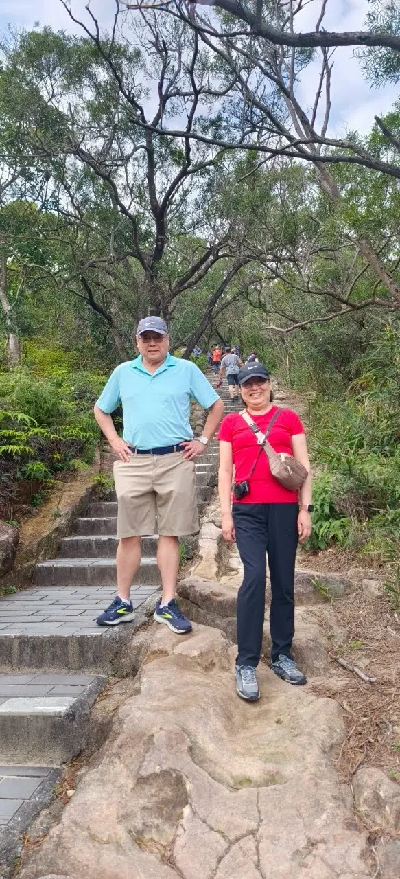
2025 年 4 月 4 日我們去軍艦岩爬山。軍艦岩為台灣北端台北盆地北側大屯火山群南側形如軍艦的一塊巨石。軍艦岩親山步道是台北市 20 條親子登山步道之一。軍艦岩海拔 185.6 公尺,登山步道全長約 3 公里,全線約 5.7 公里,登山口標示”本步道為休閒級, 單程消耗熱量 250 大卡”。真的如此嗎?實際上似乎有無止盡的階梯,我需要走走停停數次,才能攻頂。
On April 4, 2025, we went hiking at Junjianyan. Junjianyan, also known as Battleship Rock, is a massive rock formation resembling a battleship, located on the southern edge of the Tatun Volcano Group in northern Taiwan, overlooking the northern side of the Taipei Basin. Rising to an elevation of 185.6 meters above sea level, Junjianyan is home to one of Taipei City’s 20 designated parent-child hiking trails, making it a popular destination for family-friendly outdoor adventures. The altitude is 185.6 meters. The hiking trail is about 3 kilometers long and the entire route is about 5.7 kilometers. The trailhead is marked with "This trail is recreational level, and the calorie consumption is 250 kcal per trip." Is it really so? In fact, there seems to be endless stairs. I need to stop several times before I can reach the top.


沿途可欣賞許多不同種類的植物和自然景觀。
Along the trail, hikers can enjoy a rich variety of plant life and natural landscapes, making the journey both scenic and educational.


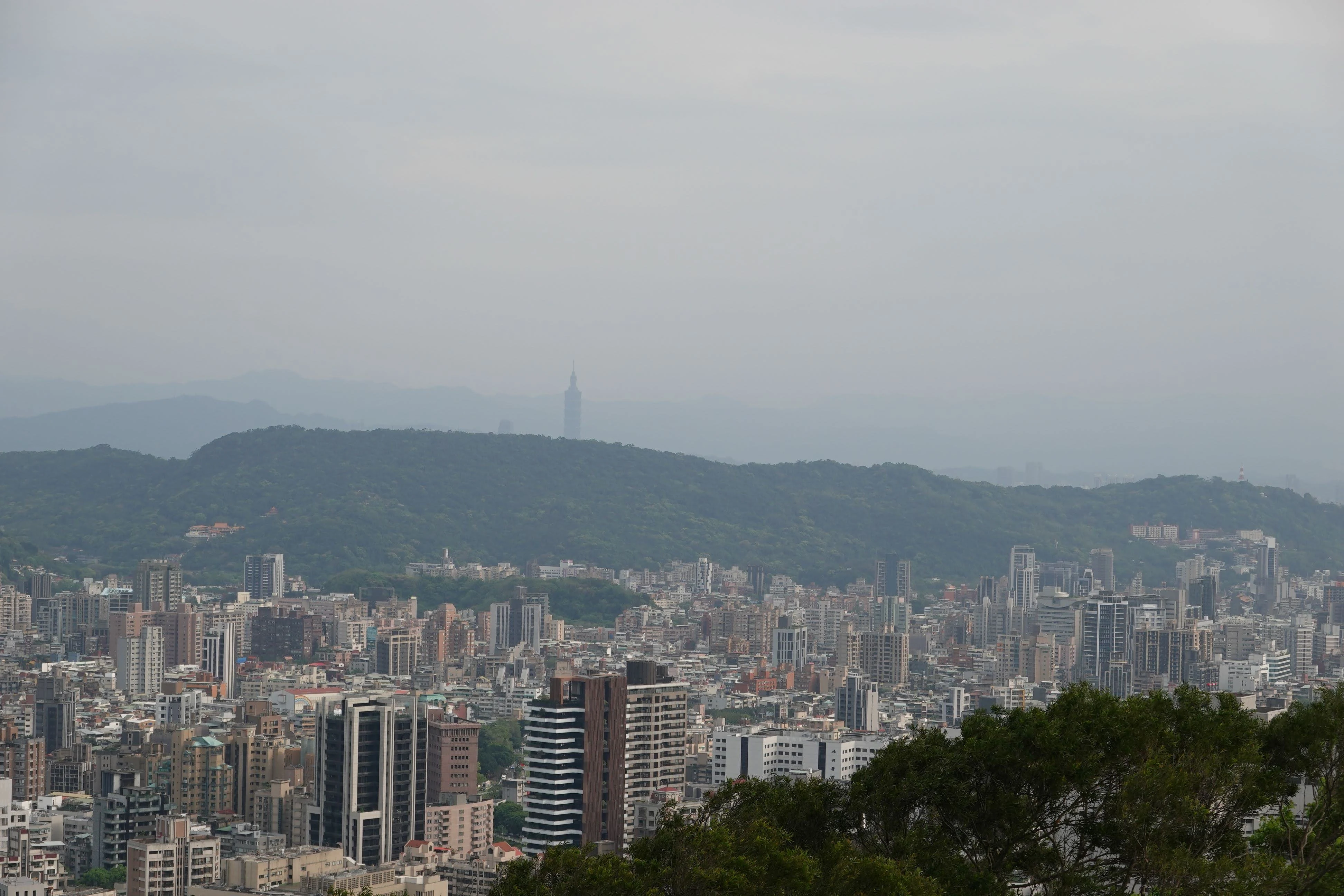
半腰上可在大學亭乘涼休息或眺望威靈頓山莊(據說以前是美軍高級宿舍)。在半山或在視野更開闊的山頭上,可將台北盆地石牌、士林、三重、五股、北投等地盡收眼底,並可遠眺淡水河、基隆河交會景觀。這裏也是觀賞大屯山系山景的好地點,日景、夜景皆宜。中研院於山頂也設立有地殼變動基準點,作為記錄與研究用。
Halfway up the mountain, you can take a rest in the University Pavilion or look out over Wellington Heights (which is said to have been a senior dormitory for US military). Halfway up or on a hill with a panoramic view stretches across key areas of the Taipei Basin, including Shipai, Shilin, Sanchong, Wugu, and Beitou. On clear days, you can even see the confluence of the Tamsui and Keelung Rivers in the distance. Junjianyan is an ideal spot to admire the surrounding Tatun mountain scenery, offering stunning vistas both during the day and at night. Additionally, the summit hosts a crustal movement benchmark established by Academia Sinica, contributing to ongoing geological monitoring and research.


軍艦岩的成分主要為 2400 萬至 2200 萬年前沈積的木山層,交錯著砂岩與頁岩層,經長時間的海水沖刷而形成了現今的地形景觀。非常特別。手腳並用爬上了軍艦岩頂,環顧著台北盆地的風景,覺得真值得流這麼幾滴汗水爬上來。
The main components of the Junjianyan are the Mushan formation deposited 24 to 22 million years ago, interlaced with sandstone and shale formation, which have been eroded by seawater for a long time to form the current topography. It is very special. I climbed to the top of Junjianyan using my hands and feet, and enjoyed the scenery of the Taipei Basin. I felt that it was worth the effort of sweating to get up there.


References 參考資料
- 台北旅遊䋞: 大屯山系_軍艦岩親山步道
- 維基百科: 軍艦岩
Travel/Point of Interest Posts 旅遊景點帖子